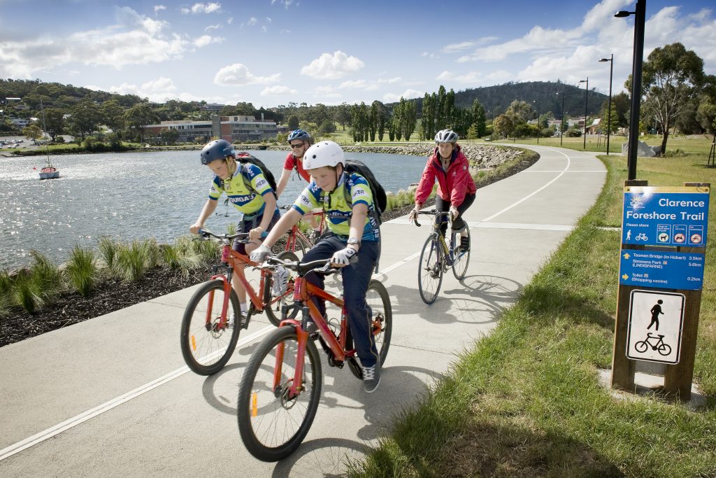
Clarence Foreshore Trail
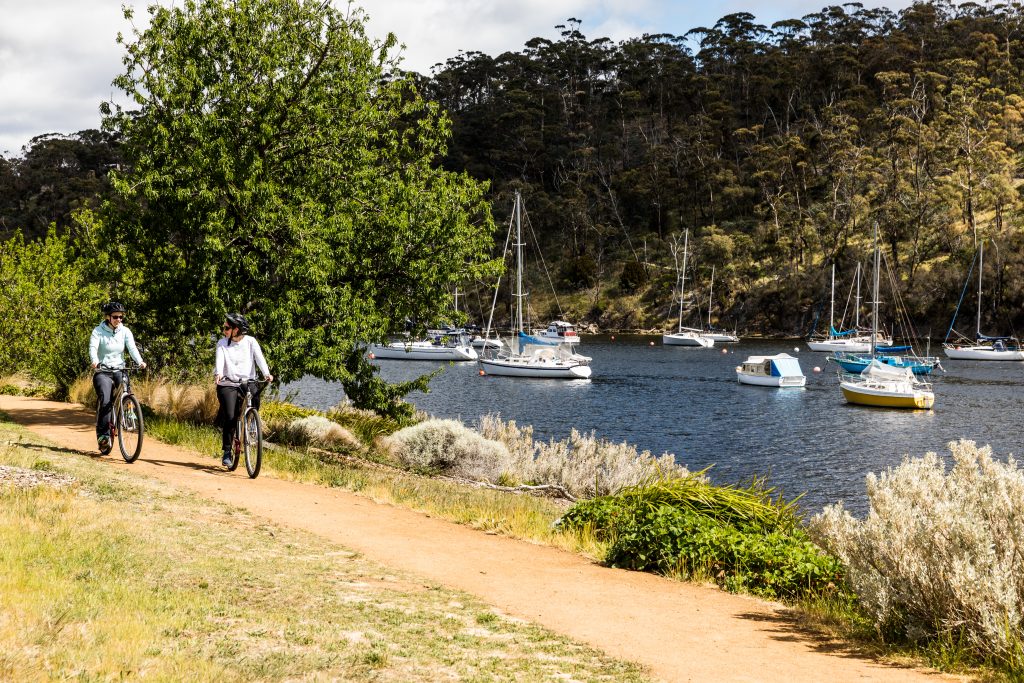
Geilston Bay
The Clarence Foreshore Trail extends from Geilston Bay to Tranmere and offers beautiful views of the coastline, western shore and Mt Wellington
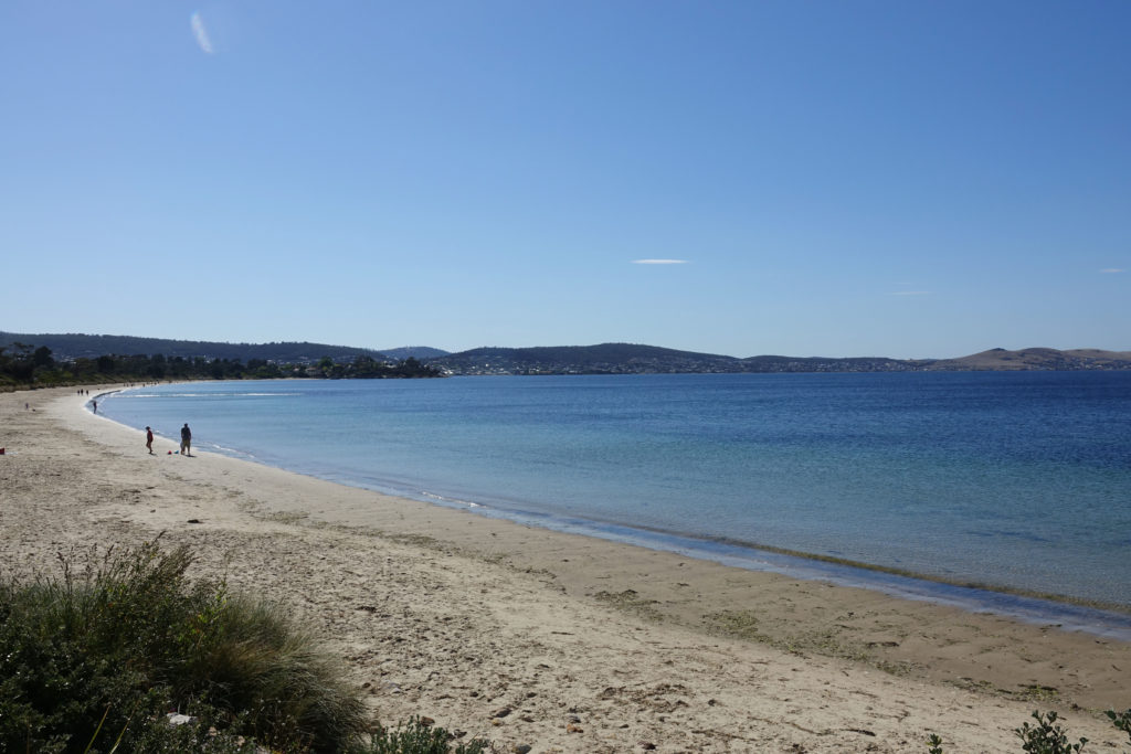
Clarence Foreshore Trail: Bellerive Beach to Howrah
Bellerive
This family-friendly track is particularly well suited to cycling as it has long sections of level concrete pathway. The track forms part of the Clarence Foreshore Trail.
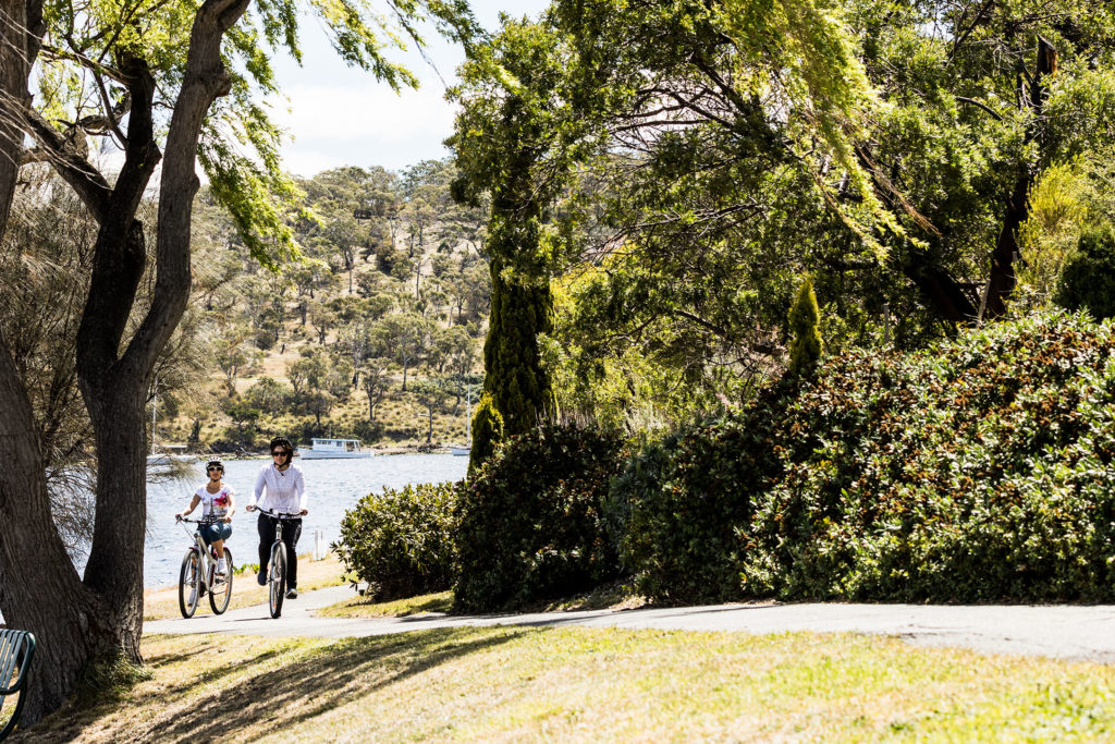
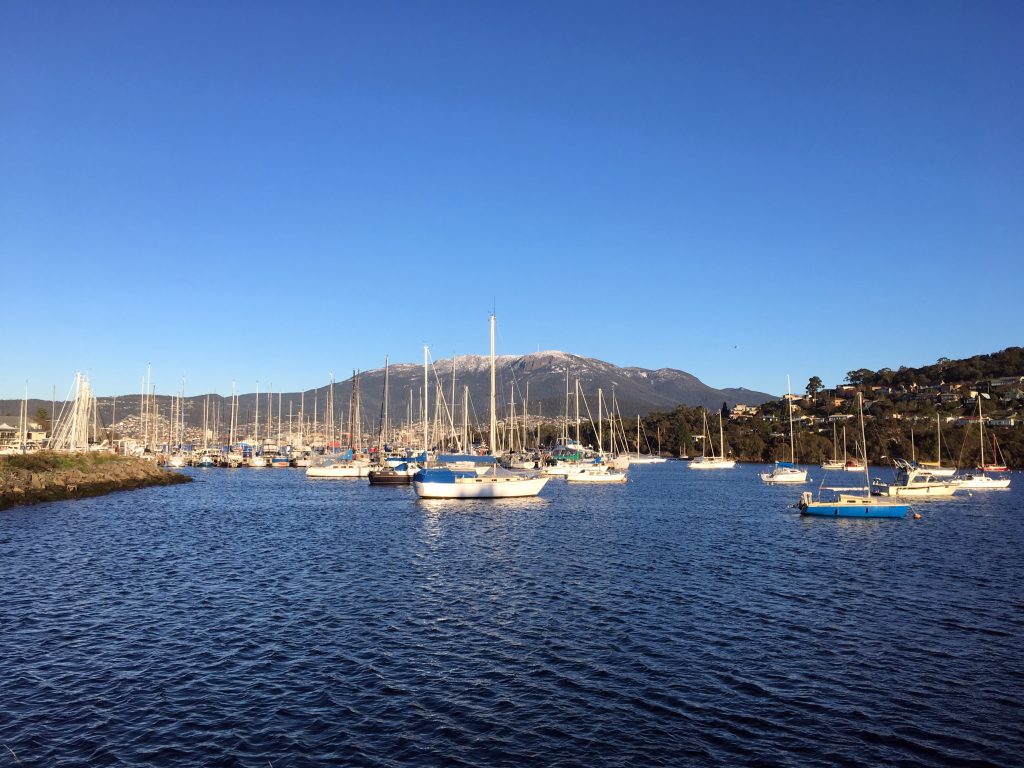
Clarence Foreshore Trail: Geilston Bay to Lindisfarne
Geilston Bay
Part of the Clarence Coastal Trail, this section follows the Derwent River and delivers beautiful water views of the Tasman Bridge and Mt Wellington
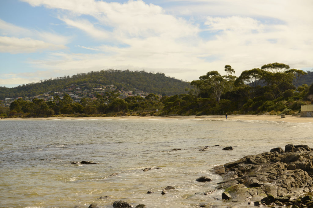
Clarence Foreshore Trail: Howrah to Tranmere
Howrah
This track affords views of the Derwent and western shore and is part of the Clarence Foreshore Trail
Clarence Foreshore Trail: Kangaroo Bay to Bellerive Beach
Rosny Park
This short, family-friendly walk or bike ride provides beautiful scenic views of Hobart and Mt Wellington, and forms part of the Clarence Foreshore Trail
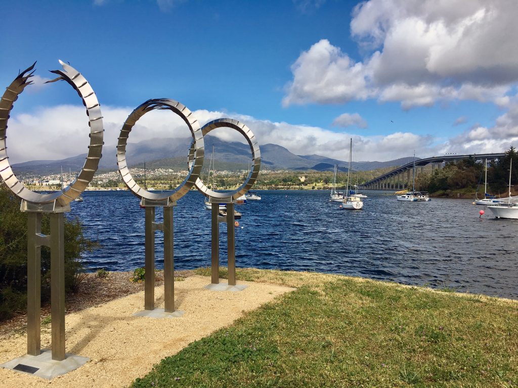
Clarence Foreshore Trail: Lindisfarne to Montagu Bay
Lindisfarne
This section of the Clarence Foreshore Trail is a pleasant family-friendly walk or bike ride that follows the shore of the Derwent River
Clarence Foreshore Trail: Montagu Bay to Kangaroo Bay
Montagu Bay
This multi-user track, forming part of the Clarence Foreshore Trail, skirts around Rosny Hill to Kangaroo Bay Parklands offering glimpses of the water and bay.
Clarence High School Oval
Bellerive
Clarence High School Oval is used for a variety of sports including junior Australian Rules (football), senior and junior cricket and athletics.
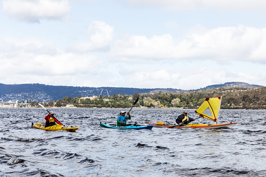
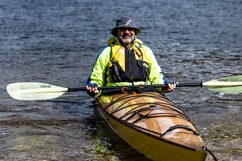
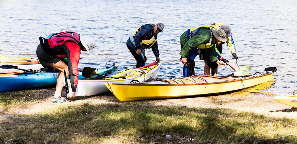
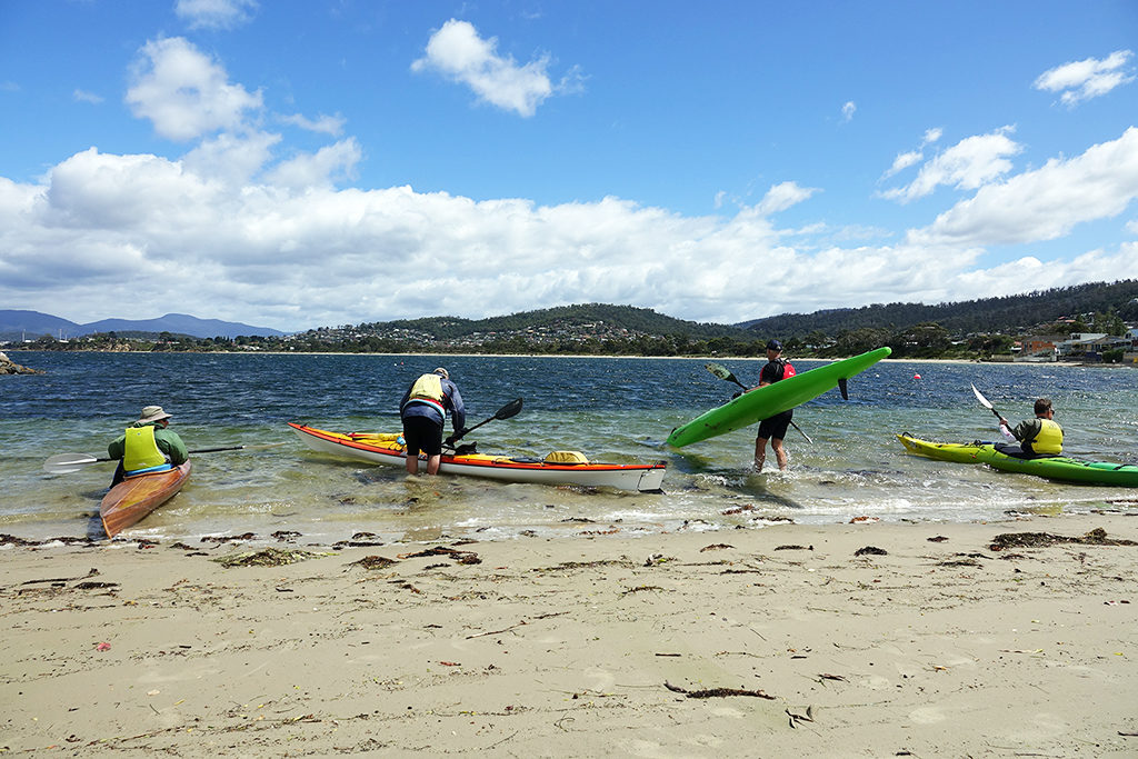
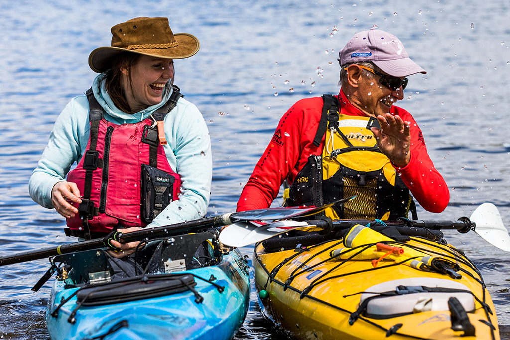
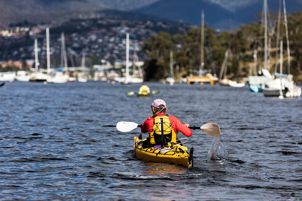
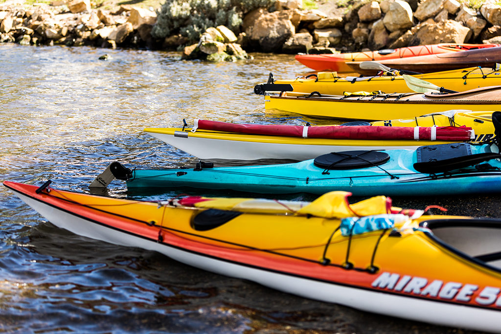
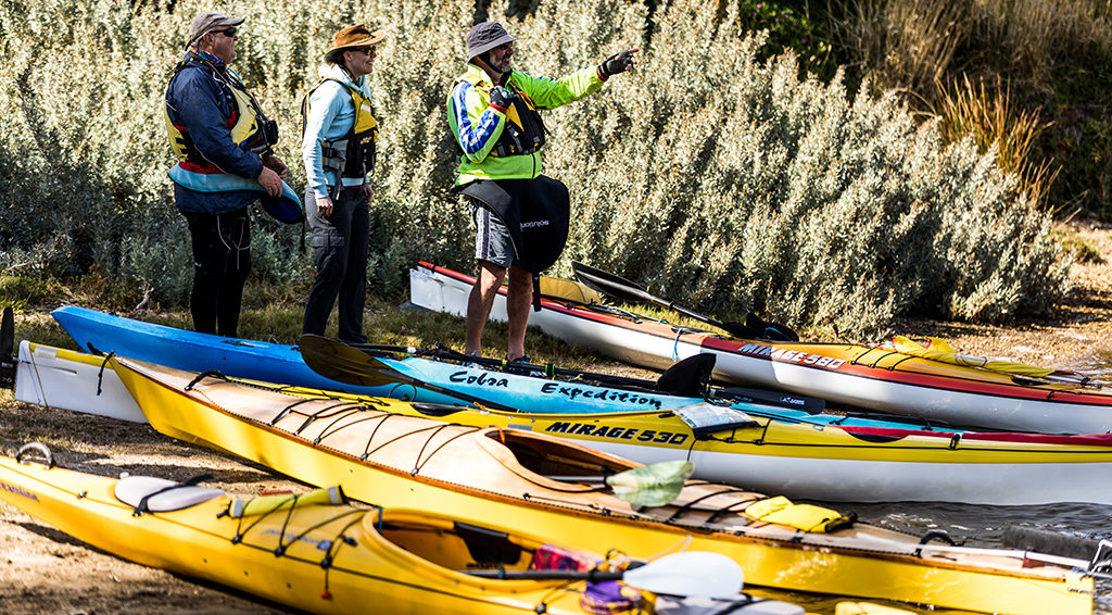
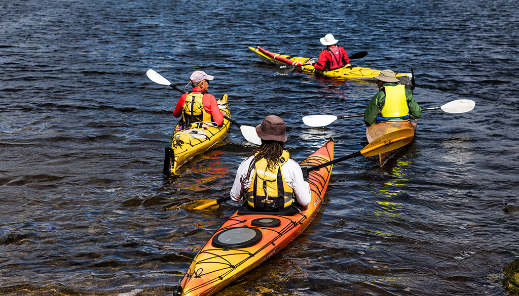
Clarence Kayak Trail
Risdon
Clarence has 191kms of coastline to paddle and explore. The Clarence Kayak Trail provides information to help you plan for your kayak trip and make the best decision about where to go. It breaks the Clarence Kayak Trail into eight coastal sections so that you can choose the section that best suits your paddling skills, your available time and the type of recreational experience you are looking for.
Clarence Kayak Trail: Cremorne to Lauderdale
Cremorne
Clarence Kayak Trail: Cremorne to Lauderdale has sections suitable for kayakers with basic and intermediate skills. This part of the trail is 8kms one way and provides relatively good paddling conditions when prevailing westerly winds affect the Derwent River. Interesting natural coastline with rocky foreshore between Cremorne to Mays Beach.
Clarence Kayak Trail: Lauderdale to Seven Mile Beach and Sandy Point
Lauderdale
Clarence Kayak Trail: Lauderdale to Seven Mile Beach and Sandy Point has sections suitable for kayakers with basic and intermediate skills. This part of the trail is 10-11kms one way featuring long sandy beaches and an attractive foreshore section between Roches Beach and Seven Mile Beach with small coves and low cliffs.
Clarence Kayak Trail: Little Howrah Beach to Rokeby Beach
Howrah
Clarence Kayak Trail: Little Howrah Beach to Rokeby Beach is suitable for kayakers with intermediate skills. This section is 7-8km one way and can be undertaken as a return trip or provide you with the option to continue paddling on to the South Arm Peninsula or Ralphs Bay.
Clarence Kayak Trail: Opossum Bay to South Arm
Opossum Bay
Clarence Kayak Trail: Opossum Bay to South Arm has sections suitable for kayakers with basic and intermediate skills. This part of the trail is 5-6kms one way and provides a connection between the two small coastal holiday villages of Opossum Bay and South Arm, that are separated by a low bluff called Pigeon Holes.
Clarence Kayak Trail: Risdon to Little Howrah Beach
Risdon
Clarence Kayak Trail: Risdon to Little Howrah Beach is suitable for kayakers with basic skills. This section is 11-12km one way and provides the opportunity to see a diverse range of landform features including the spectacular cliffs of Bedlam Walls through to the attractive sandstone headlands and beaches along the eastern shore.
Clarence Kayak Trail: Rokeby Beach to Gorringes Beach/Eastern Bezzants Road
Rokeby
Clarence Kayak Trail: Rokeby Beach to Gorringes Beach/Eastern Bezzants Road is suitable for kayakers with intermediate skills. This section of the trail is 11kms to Gorringes Beach plus a further 6kms to Bezzants Road and provides options to explore the coastline around Ralphs Bay featuring low cliffs, rocky platforms, tidal flats and many sandy beaches.
Clarence Kayak Trail: Rokeby Beach to Opossum Bay
Rokeby
Clarence Kayak Trail: Rokeby Beach to Opossum Bay is suitable for kayakers with intermediate skills. This section of the trail is 12kms one way and provides an interesting but exposed paddle to Opossum Bay across the entrance into Ralphs Bay.
Clarence Kayak Trail: South Arm to Cremorne
South Arm
Clarence Kayak Trail: South Arm to Cremorne is only suitable for kayakers with advanced skills. This section of the trail is 24kms one way and offers a rugged yet spectacular coastline which requires paddlers to have considerable experience and advanced skills in open coastal seas.
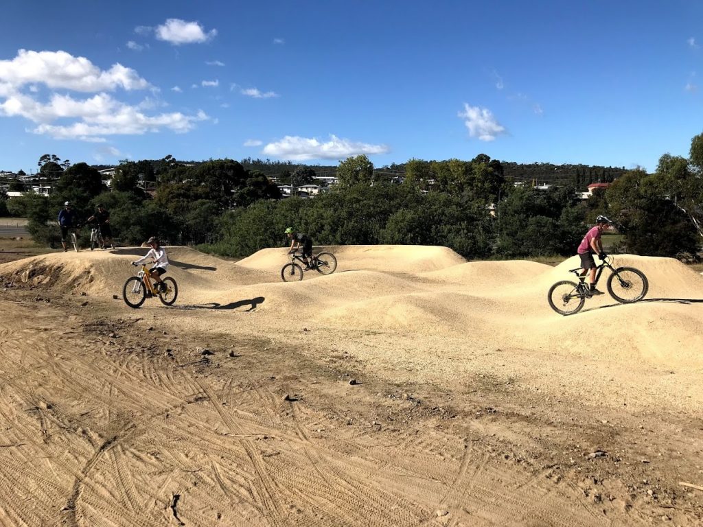
Clarence Mountain Bike Park and Meehan Range
Warrane
Located in the Meehan Range, the Clarence Mountain Bike Park includes a pump track, dirt jumps and a range of trails catering for beginners, intermediate and advanced riders
Clarendon Vale Community Park
Clarendon Vale
Clarendon Vale Community park is one of our neighbourhood parks.
Clarendon Vale Dog Exercise Areas
Clarendon Vale
Find out where you can and can’t exercise your dog in Clarendon Vale.